Wireless devices in invisible cities: new ways to map the world
March 5 2011, 10:58 PM
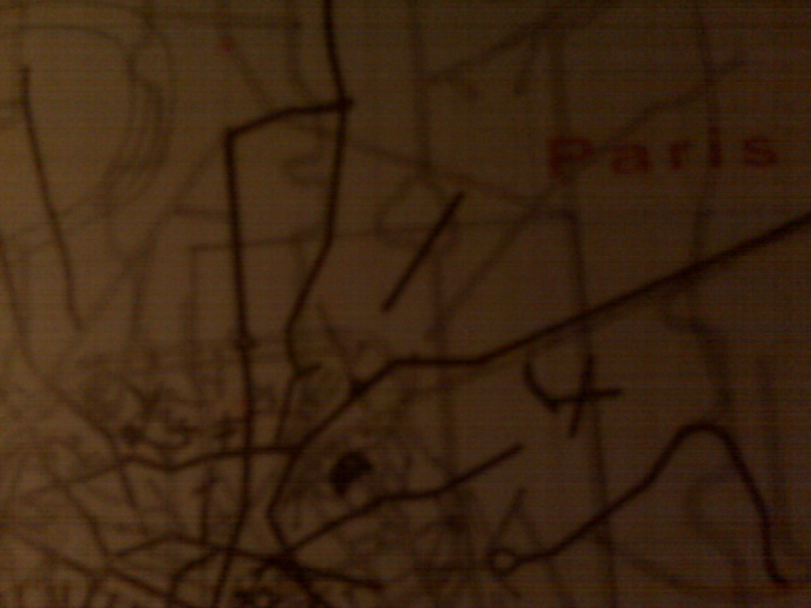
All cities have maps. Maps of the visible, of streets and streetcars,
churches and shopping malls. You can see where the water is, where the
hills are, where the parks start and stop.
Maps of sewers and subways, power subsystems and data centers. Like the
maps of the visible city, these maps have a topology all of their own. Most
of us do not know all the ins and outs of these invisible cities, but they
exist and often keep the visible city alive and thriving. With the advent of wireless devices and GPSs, there is a third type of map
developing. It is the map we form when we check in to one place over
another. It is the representation of what we cheer or the images that we
stop and capture and share. The information we capture develops into a
third map: the map of human relationships. Not only the relationships with
the things we encounter, but the relationships with the people we meet and
know. Some of this was not lacking in previous maps, for old maps could
tell much about us from the locations we worked and the places we ate and
the houses we worshipped in. But now these new maps can tell us much more,
because we can reveal much more. And these new maps can rewrite themselves,
for as we move around, the maps move around with us. With each new map, we may better navigate our world, however visible it may
be.
-----------------
Sent from my BlackBerry Handheld.